Friday 26th 2014 - For the North Atlantic...Caribbean Sea and the Gulf of Mexico: Disorganized showers and thunderstorms continue in association withan elongated area of low pressure located about 1100 miles east of the Windward Islands. Environmental conditions are not conducive for development, and tropical cyclone formation is unlikely while the low drifts northward during the next couple of days.
- Formation chance through 48 hours...low...10 percent.
- Formation chance through 5 days...low...10 percent.
St Kitts & Nevis Weather Forecast
Synopsis: A mid to upper level low pressure system is destabilizing the atmosphere across the area; thus, the chances of precipitation are high. Showers or rain could be locally heavy and rainfall totals of 3-10 mm are possible over the next 24 hours, mainly across the northern half of the islands.
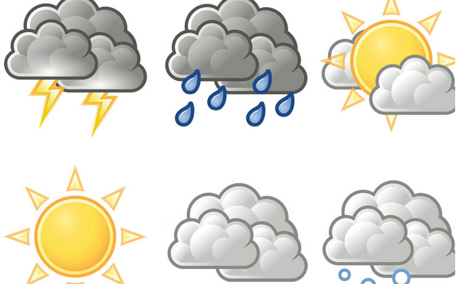
Today: Mostly cloudy with a 60% (or high) chance of rain and a 40% (or moderate) chance of thunderstorms, mainly this afternoon.
Tonight: Partly cloudy with a 40 percent (or moderate) chance of showers and a 20% (or slight) chance of thunderstorms, mainly before midnight.
Winds: The wind will be east-southeast today and southeast tonight at 5 to 10 knots and lighter at times.
Seas: The seas will be moderate with heights less than 1.5 metres of less than 5 feet.
Barometric Pressure: The atmospheric pressure is near normal.
Sunset today: 6:04 pm.
Sunrise tomorrow: 6:01 am.