ROADTOWN Tortola BVI, July 20th, 2012 – As part of an agreement with the University of Portsmouth in the UK, the Department of Disaster Management (DDM) will soon benefit from landslide maps of vulnerable areas that are being developed by a visiting intern.
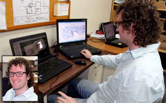
Mr. Leo Skelsey, a technical intern from the University of Portsmouth, England, is in the Virgin Islands for four weeks working with the DDM to investigate landslide maps of Tortola. His work will focus on identifying critical infrastructure that may be vulnerable in the event of major landslides.
Mr. Skelsey, a post graduate student majoring in Crisis and Disaster Management, will assist in improving existing landslide maps by using a unique numerical scoring system. The likelihood of landslides in vulnerable areas will be evaluated through this practical method.
In describing the work he is doing with the DDM Mr. Skelsey said, “I will utilize existing data and current models, topographic and land use data including digital elevations models, contour maps and field assessments to create a scoring system that will be applicable and practical for use by the DDM. More specifically, the maps to be produced as part of my work will show the vulnerability of critical infrastructures to landslides.”
Director of the DDM, Ms. Sharleen DaBreo said, “We are pleased to be able to accommodate technical interns such as Mr. Skelsey from the University of Portsmouth. Leo is the fourth student who has joined us over the last three years. His work will provide us with detailed information on the vulnerability of buildings against landslides and how best to represent that data.
One of the aims is to use the data to improve the information that we currently have on landslides. This project is timely and fits well into the overall hazard mapping activities currently being undertaken by DDM and its partners.”
A report documenting the findings with approaches and methods that could be used to provide detailed, effective and accurate assessment for other areas of the VI will be presented to the DDM at the end of the internship. Mr. Skelsey’s internship is self-funded and all data collected will be presented to the Government in a format suitable for future use.
*************************
DISCLAIMER
This article was posted in its entirety as received by SKNVibes.com. This media house does not correct any spelling or grammatical error within press releases and commentaries. The views expressed therein are not necessarily those of SKNVibes.com, its sponsors or advertisers